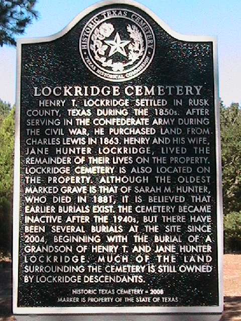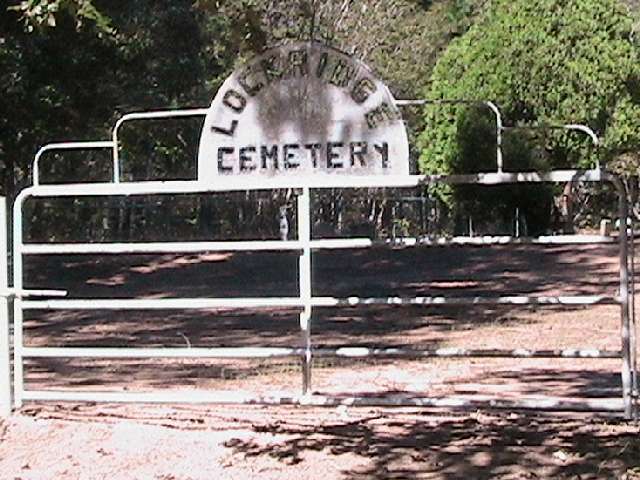

Lockridge Cemetery
From Henderson, take Hwy 79 southwest about 4 miles to FM 839 and turn left (southeast). Go about three miles and, just as the road curves right, make a left (U-turn) onto CR 401. Go right at the fork onto CR 443 (442?) D. Go about .4 mile and the cemetery is on the left. The road numbers are different on the maps and the street signs. County maps list it as Lockhart CemeterySurnames are LOCKRIDGE, HUNTER, WARD
Coordinates:
Lat 32 03.867
Lng 94 51.067
This cemetery has a historical marker.
A catalog of this cemetery can be found at the USGW Archives.